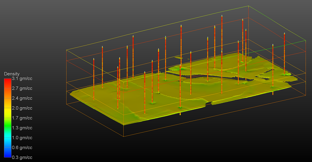
Three-dimensional modeling of site geology and the employment of geophysics to aid in that modeling and to obtain data regarding the subsurface properties of the site geology are critical elements of any rigorous Earth Science modeling project.
Earth Volumetric Studio provides all of the tools necessary to model the Site Geology through a variety of processes which can include one or more of the following approaches:
- Modeling of stratigraphic horizons from borehole observations and/or geophysical data (ERT, Seismics, etc.)
- Indicator kriging of borehole lithology data to make probabilistic assigments of materials
- Modeling of faults and/or folds
- Removal of excavations
- Removal of material from erosion due to streams, rivers, glaciers, etc.
When advanced geophysical instruments and analysis techniques such as 3D Electrical Resistivity Tomography (ERT) or Multichannel Analysis of Surface Waves (MASW), we can quickly obtain volumetric subsurface data using cross-borehole or ground-surface data collection methods.

